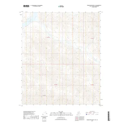
2018 Map of Demarcation Point B-1 SW
USGS Topo · Published 2018About this map
Whale Mountain anchors the southern terrain of this remote corner of the North Slope, where the drainage systems of the eastern Arctic coastal plain are meticulously recorded. The landscape is defined by the braided path of the Kongakut River in the northwest and the winding course of the Pagilak River, which meanders through the central and eastern sections of the quadrangle. In the northeast, the headwaters of the Paulaluk River emerge from the high relief. This 2018 survey provides a clear view of the complex topography and hydrological patterns of the region, emphasizing the isolation and natural transition of the terrain as it descends from the mountainous interior toward the northern coast.
Find a feature on this map
8 named features on this map. Tap any name to fly to it.
Don’t see what you’re looking for? This feature index may not catch every label — zoom into the map to look around manually.
Map Details
Editions of this 2018 Demarcation Point B-1 SW Map
This is the sole edition of this map. No revisions or reprints were ever made.
Other maps of this area

1951 · Demarcation Point
USGS Topo · 1:250,000

1955 · Demarcation Point
USGS Topo · 1:250,000

1956 · Demarcation Point B-2
USGS Topo · 1:63,360
1956 · Demarcation Point B-1
USGS Topo · 1:63,360

1964 · Demarcation Point
USGS Topo · 1:250,000

1983 · Demarcation Point A-2
USGS Topo · 1:63,360
1983 · Demarcation Point A-1
USGS Topo · 1:63,360
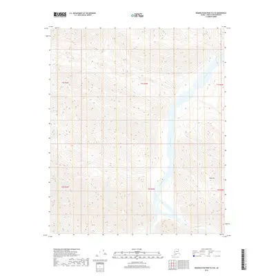
2018 · Demarcation Point B-2 SE
USGS Topo · 1:25,000
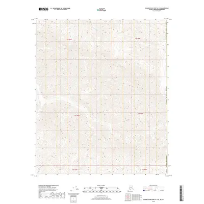
2018 · Demarcation Point A-1 NE
USGS Topo · 1:25,000
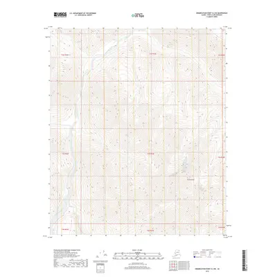
2018 · Demarcation Point A-2 NE
USGS Topo · 1:25,000