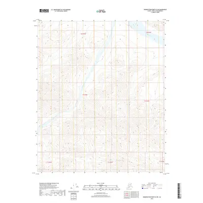
2018 Map of Demarcation Point B-2 NE
USGS Topo · Published 2018About this map
Kongakut River flows through the northeastern corner of this North Slope landscape, where the terrain is defined by complex contour elevations and glacial or periglacial drainage patterns. The presence of Baseline Creek provides a secondary focal point for understanding the local hydrography within the t1n r42e and t2n r42e townships. This 2018 survey reveals a territory primarily shaped by natural forces rather than human infrastructure, with no roads or permanent structures recorded. The map serves as a precise record of the environmental conditions at the edge of the Arctic, capturing the exact paths of waterways like the Kongakut River before the shifting seasons of the far north alter their courses through the Tundra.
Find a feature on this map
9 named features on this map. Tap any name to fly to it.
Don’t see what you’re looking for? This feature index may not catch every label — zoom into the map to look around manually.
Map Details
Editions of this 2018 Demarcation Point B-2 NE Map
This is the sole edition of this map. No revisions or reprints were ever made.
Other maps of this area

1951 · Demarcation Point
USGS Topo · 1:250,000

1955 · Demarcation Point
USGS Topo · 1:250,000
1955 · Demarcation Point C-1
USGS Topo · 1:63,360

1955 · Demarcation Point C-2
USGS Topo · 1:63,360

1956 · Demarcation Point B-2
USGS Topo · 1:63,360
1956 · Demarcation Point B-1
USGS Topo · 1:63,360

1964 · Demarcation Point
USGS Topo · 1:250,000
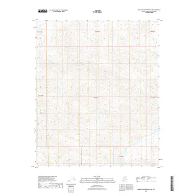
2018 · Demarcation Point B-2 NW
USGS Topo · 1:25,000
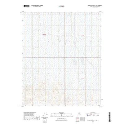
2018 · Demarcation Point C-1 SW
USGS Topo · 1:25,000
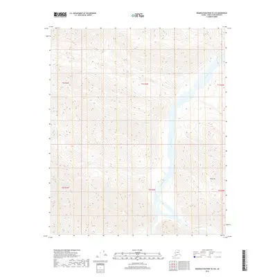
2018 · Demarcation Point B-2 SE
USGS Topo · 1:25,000