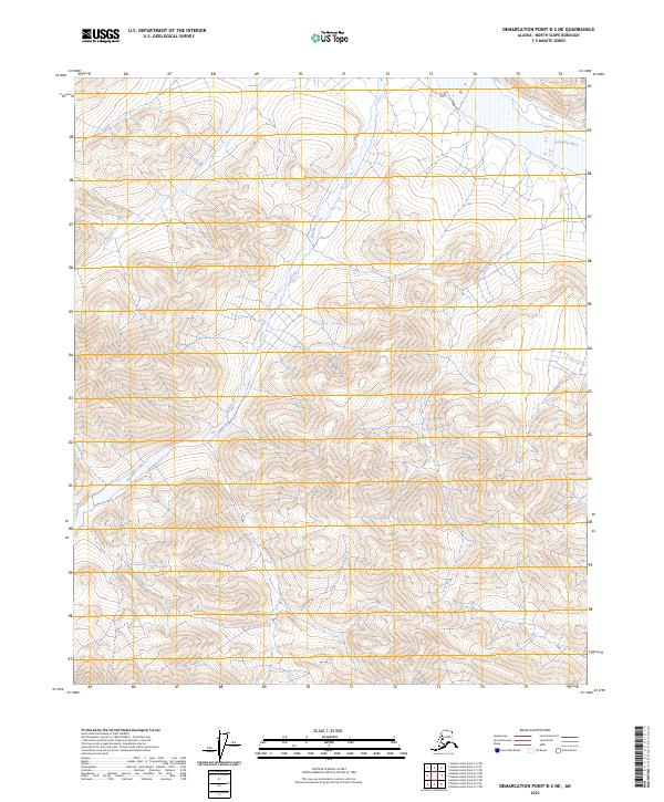
2023 Map of Demarcation Point B-2 NE
USGS Topo · Published 2023About this map
Arctic National Wildlife Refuge encompasses the entire landscape of this quadrangle, illustrating the protected interior of the North Slope. The terrain is defined by the headwaters and drainages of the Kongakut River, which cuts through the northeastern corner, and the winding course of Baseline Creek as it flows northward through the central valleys. This area also forms part of the Mollie Beattie Wilderness, a designation that emphasizes the lack of permanent human infrastructure or roads. The map's contour lines and watercourses reveal the complex hydrology of the high latitudes, where small tributaries feed larger river systems in a region devoid of modern development or named settlements.
Find a feature on this map
11 named features on this map. Tap any name to fly to it.
Don’t see what you’re looking for? This feature index may not catch every label — zoom into the map to look around manually.
Map Details
Editions of this 2023 Demarcation Point B-2 NE Map
This is the sole edition of this map. No revisions or reprints were ever made.
Other maps of this area

1951 · Demarcation Point
USGS Topo · 1:250,000

1955 · Demarcation Point
USGS Topo · 1:250,000
1955 · Demarcation Point C-1
USGS Topo · 1:63,360

1955 · Demarcation Point C-2
USGS Topo · 1:63,360

1956 · Demarcation Point B-2
USGS Topo · 1:63,360
1956 · Demarcation Point B-1
USGS Topo · 1:63,360

1964 · Demarcation Point
USGS Topo · 1:250,000
2018 · Demarcation Point B-2 NW
USGS Topo · 1:25,000
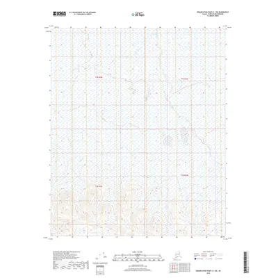
2018 · Demarcation Point C-1 SW
USGS Topo · 1:25,000
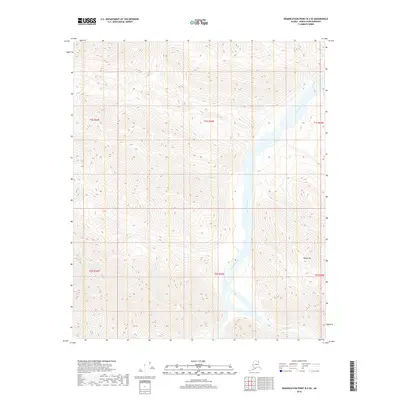
2018 · Demarcation Point B-2 SE
USGS Topo · 1:25,000