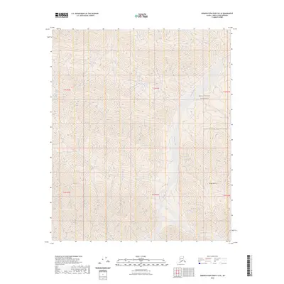
2023 Map of Demarcation Point B-2 SE
USGS Topo · Published 2023About this map
The Kongakut River flows through the center of this remote North Slope landscape, carving a path through the northern reaches of the Arctic National Wildlife Refuge. The terrain is dominated by the prominent elevation of Whale Mountain in the southeast, providing a stark topographical anchor in a region defined by its protected status. This section of the Brooks Range is further designated as the Mollie Beattie Wilderness, preserving a vast area of roadless tundra and alpine peaks. The map reflects a landscape almost entirely untouched by modern infrastructure, where natural watercourses and mountainous landforms are the primary features. This 2023 edition uses precise elevation data from the National Elevation Dataset to delineate the steep gradients and drainage patterns that characterize this high-latitude environment.
Find a feature on this map
10 named features on this map. Tap any name to fly to it.
Don’t see what you’re looking for? This feature index may not catch every label — zoom into the map to look around manually.
Map Details
Editions of this 2023 Demarcation Point B-2 SE Map
This is the sole edition of this map. No revisions or reprints were ever made.
Other maps of this area

1951 · Demarcation Point
USGS Topo · 1:250,000

1955 · Demarcation Point
USGS Topo · 1:250,000

1956 · Demarcation Point B-2
USGS Topo · 1:63,360
1956 · Demarcation Point B-1
USGS Topo · 1:63,360

1964 · Demarcation Point
USGS Topo · 1:250,000

1983 · Demarcation Point A-2
USGS Topo · 1:63,360
1983 · Demarcation Point A-1
USGS Topo · 1:63,360
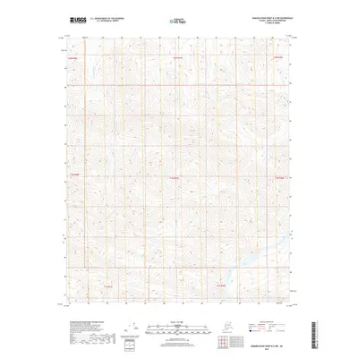
2018 · Demarcation Point B-2 NW
USGS Topo · 1:25,000
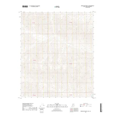
2018 · Demarcation Point A-2 NW
USGS Topo · 1:25,000
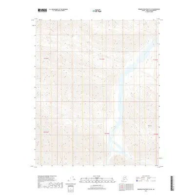
2018 · Demarcation Point B-2 SE
USGS Topo · 1:25,000