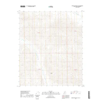
2018 Map of Demarcation Point B-3 SW
USGS Topo · Published 2018About this map
Romanzof Mountains dominate the southern portion of this Arctic landscape, where steep elevation contours define the northern foothills of the Brooks Range. The drainage system is anchored by the Leffingwell Fork, which winds through the center of the survey area, joined in the northeast corner by the Egalaksrak River. This 2018 topographic study of the North Slope provides a detailed view of the natural hydrology and land survey grid, including t1s r39e and t2s r40e, in a region characterized by its high-altitude peaks and glacial-fed water systems. The map captures the remote character of the interior borough before it reaches the coastal plain.
Find a feature on this map
7 named features on this map. Tap any name to fly to it.
Don’t see what you’re looking for? This feature index may not catch every label — zoom into the map to look around manually.
Map Details
Editions of this 2018 Demarcation Point B-3 SW Map
This is the sole edition of this map. No revisions or reprints were ever made.
Other maps of this area

1951 · Demarcation Point
USGS Topo · 1:250,000

1955 · Demarcation Point
USGS Topo · 1:250,000
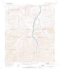
1956 · Demarcation Point B-4
USGS Topo · 1:63,360
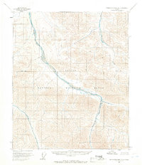
1956 · Demarcation Point B-3
USGS Topo · 1:63,360

1964 · Demarcation Point
USGS Topo · 1:250,000
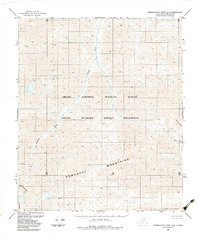
1983 · Demarcation Point A-4
USGS Topo · 1:63,360
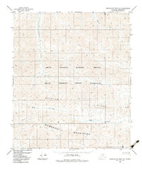
1983 · Demarcation Point A-3
USGS Topo · 1:63,360
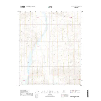
2018 · Demarcation Point B-4 NE
USGS Topo · 1:25,000
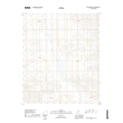
2018 · Demarcation Point B-3 NW
USGS Topo · 1:25,000
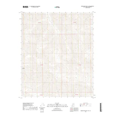
2018 · Demarcation Point A-3 NE
USGS Topo · 1:25,000