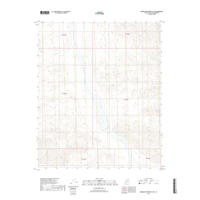
2018 Map of Demarcation Point B-3 NW
USGS Topo · Published 2018About this map
The Egaksrak River meanders through this remote portion of the North Slope, dominating the central drainage of a landscape defined by sharp elevation changes and high-latitude water systems. This 2018 topographic study, based on 2009 SPOT imagery and National Hydrography Dataset records, illustrates the complex braided patterns and wetlands common to Arctic river valleys. In the northeastern corner of the map, the headwaters of Redwacke Cr flow through deeply incised terrain, while the broader township boundaries of t2n r38e and t1n r39e provide the structural framework for this uninhabited wilderness. The map captures the transition of the Egaksrak as it moves between township lines, offering a precise record of hydrologic positions in an area where seasonal shifts and permafrost influence the land's character.
Find a feature on this map
8 named features on this map. Tap any name to fly to it.
Don’t see what you’re looking for? This feature index may not catch every label — zoom into the map to look around manually.
Map Details
Editions of this 2018 Demarcation Point B-3 NW Map
This is the sole edition of this map. No revisions or reprints were ever made.
Other maps of this area

1951 · Demarcation Point
USGS Topo · 1:250,000

1955 · Demarcation Point
USGS Topo · 1:250,000

1955 · Demarcation Point C-4
USGS Topo · 1:63,360

1955 · Demarcation Point C-3
USGS Topo · 1:63,360
1956 · Demarcation Point B-4
USGS Topo · 1:63,360
1956 · Demarcation Point B-3
USGS Topo · 1:63,360

1964 · Demarcation Point
USGS Topo · 1:250,000
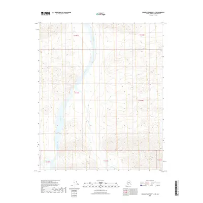
2018 · Demarcation Point B-4 NE
USGS Topo · 1:25,000
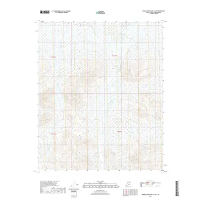
2018 · Demarcation Point C-3 SE
USGS Topo · 1:25,000
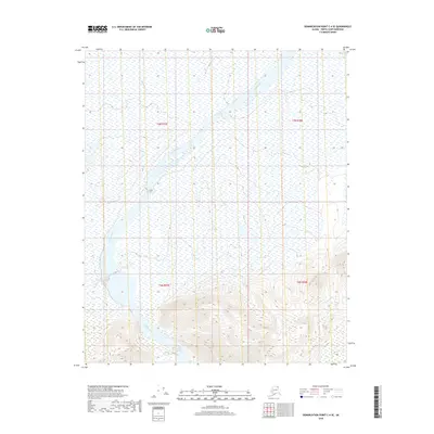
2018 · Demarcation Point C-4 SE
USGS Topo · 1:25,000