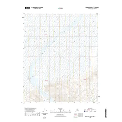
2018 Map of Demarcation Point C-4 SE
USGS Topo · Published 2018About this map
The Aichilik River dominates this Arctic landscape as it meanders through the North Slope, revealing the complex braided patterns and vast wetland systems characteristic of the region. The map captures the transition from the high-relief mountain topography in the south to the expansive alluvial plains in the north. This survey illustrates the intricate network of tributaries and seasonal drainage channels that define the hydrography between the areas of t3n r37e and t2n r38e. The stark separation between the contour-heavy peaks and the flat, water-saturated lowlands provides a clear view of the geological forces shaping this northern terrain. For those interested in the environmental history of Alaska, the map offers a precise baseline of the river's course and the surrounding marshlands before shifting Arctic conditions further alter the drainage patterns.
Find a feature on this map
5 named features on this map. Tap any name to fly to it.
Don’t see what you’re looking for? This feature index may not catch every label — zoom into the map to look around manually.
Map Details
Editions of this 2018 Demarcation Point C-4 SE Map
This is the sole edition of this map. No revisions or reprints were ever made.
Other maps of this area

1951 · Demarcation Point
USGS Topo · 1:250,000

1955 · Demarcation Point
USGS Topo · 1:250,000

1955 · Demarcation Point C-4
USGS Topo · 1:63,360

1955 · Demarcation Point C-3
USGS Topo · 1:63,360
1956 · Demarcation Point B-4
USGS Topo · 1:63,360
1956 · Demarcation Point B-3
USGS Topo · 1:63,360

1964 · Demarcation Point
USGS Topo · 1:250,000
2018 · Demarcation Point C-4 SW
USGS Topo · 1:25,000
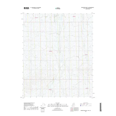
2018 · Demarcation Point C-4 NW
USGS Topo · 1:25,000
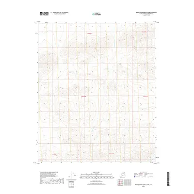
2018 · Demarcation Point B-4 NW
USGS Topo · 1:25,000