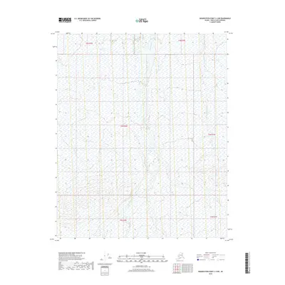
2018 Map of Demarcation Point C-4 NW
USGS Topo · Published 2018About this map
The Okerokovik River winds through this northern landscape, defining the drainage patterns of a largely undeveloped section of the North Slope. Surveyed in 2018, the map illustrates the braided nature of the watercourses in this arctic environment, where the Okerokovik River dominates the central terrain while the Niguanak River appears along the eastern boundary. This edition provides a precise look at the Public Land Survey System grid across townships like t4n r36e and t5n r36e, reflecting the formal mapping of these vast government lands. Without roads or permanent settlements, the map focuses on the hydrologic and topographic reality of the tundra, recording the subtle elevation changes and wetland distributions across these high-latitude townships.
Find a feature on this map
8 named features on this map. Tap any name to fly to it.
Don’t see what you’re looking for? This feature index may not catch every label — zoom into the map to look around manually.
Map Details
Editions of this 2018 Demarcation Point C-4 NW Map
This is the sole edition of this map. No revisions or reprints were ever made.
Other maps of this area

1951 · Demarcation Point
USGS Topo · 1:250,000

1955 · Demarcation Point
USGS Topo · 1:250,000

1955 · Demarcation Point C-5
USGS Topo · 1:63,360

1955 · Demarcation Point C-4
USGS Topo · 1:63,360

1955 · Demarcation Point D-5
USGS Topo · 1:63,360

1955 · Demarcation Point D-4
USGS Topo · 1:63,360

1964 · Demarcation Point
USGS Topo · 1:250,000
2018 · Demarcation Point D-5 SE
USGS Topo · 1:25,000
2018 · Demarcation Point C-4 SW
USGS Topo · 1:25,000
2018 · Demarcation Point D-4 SW
USGS Topo · 1:25,000