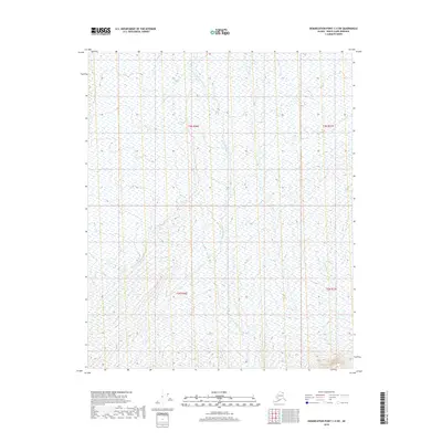
2018 Map of Demarcation Point C-4 SW
USGS Topo · Published 2018About this map
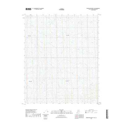
Okpirourak River flows through the center of this 2018 survey, providing the primary hydrological reference point for an area characterized by its absence of permanent human settlement. Located in the North Slope Borough, the landscape is defined by the underlying Public Land Survey System grids of t3n r36e, t3n r37e, t2n r36e, and t2n r37e. The map reflects a remote corner of Alaska where the terrain is shaped by the river system and shifting wetlands, captured through imagery from 2009 and hydrography data updated through 2018. This edition provides a detailed record of the drainage patterns and elevation contours in a region where no roads or established naming conventions for local features were available at the time of publication.
Find a feature on this map
5 named features on this map. Tap any name to fly to it.
Don’t see what you’re looking for? This feature index may not catch every label — zoom into the map to look around manually.
Map Details
Editions of this 2018 Demarcation Point C-4 SW Map
This is the sole edition of this map. No revisions or reprints were ever made.
Other maps of this area

1951 · Demarcation Point
USGS Topo · 1:250,000

1955 · Demarcation Point
USGS Topo · 1:250,000

1955 · Demarcation Point C-5
USGS Topo · 1:63,360

1955 · Demarcation Point C-4
USGS Topo · 1:63,360
1956 · Demarcation Point B-4
USGS Topo · 1:63,360

1956 · Demarcation Point B-5
USGS Topo · 1:63,360

1964 · Demarcation Point
USGS Topo · 1:250,000
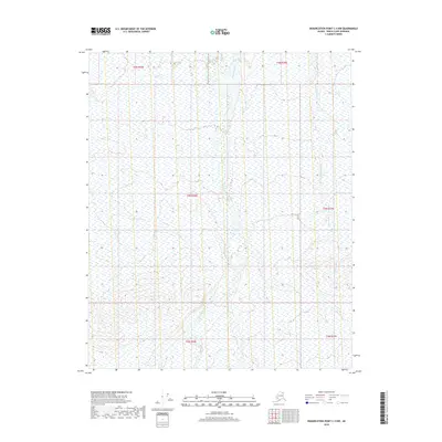
2018 · Demarcation Point C-4 NW
USGS Topo · 1:25,000
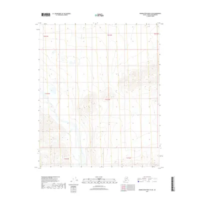
2018 · Demarcation Point B-5 NE
USGS Topo · 1:25,000
2018 · Demarcation Point C-5 SE
USGS Topo · 1:25,000