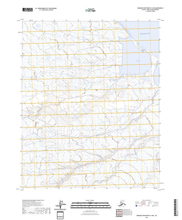
2023 Map of Demarcation Point D-3 NW
USGS Topo · Published 2023About this map
Arctic National Wildlife Refuge encompasses the vast majority of this coastal landscape on the North Slope, where the tundra meets the Beaufort Sea. The map reveals a complex network of braided waterways and coastal landforms, including the prominent Humphrey Point and the sheltered waters of Pokok Bay. Several significant rivers wind through the low-lying terrain, such as the Kimikpaurauk River, the Siksik River, and the Sikrelurak River. These water systems dominate the geography, illustrating the drainage patterns of the far north. This modern survey by the U.S. Geological Survey provides a precise view of the shoreline and the interior wetlands, vital for understanding the ecological and topographical character of this protected wilderness area.
Find a feature on this map
15 named features on this map. Tap any name to fly to it.
Don’t see what you’re looking for? This feature index may not catch every label — zoom into the map to look around manually.
Map Details
Editions of this 2023 Demarcation Point D-3 NW Map
This is the sole edition of this map. No revisions or reprints were ever made.
Other maps of this area

1951 · Barter Island
USGS Topo · 1:250,000

1951 · Demarcation Point
USGS Topo · 1:250,000

1955 · Demarcation Point
USGS Topo · 1:250,000

1955 · Demarcation Point D-3
USGS Topo · 1:63,360

1955 · Barter Island A-4
USGS Topo · 1:63,360
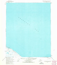
1955 · Barter Island A-3
USGS Topo · 1:63,360

1955 · Demarcation Point D-4
USGS Topo · 1:63,360

1959 · Barter Island
USGS Topo · 1:250,000

1962 · Demarcation Point D-3
USGS Topo · 1:50,000

1964 · Demarcation Point
USGS Topo · 1:250,000