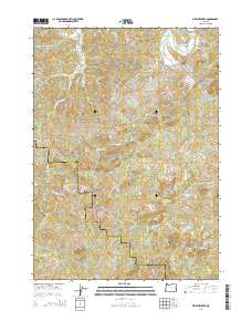
2014 Map of Dement Creek
USGS Topo · Published 2014About this map
The South Fork Coquille River defines the northeastern drainage of this coastal Oregon landscape, where the border of Coos and Curry Counties cuts through steep, timbered ridges. Local history is anchored at the Dement Cem near Mill Cr, serving families who settled along the intricate network of creeks that feed into the Coquille and Floras basins. The terrain is marked by high points like Whoorey Mtn, with a transport network largely defined by logging and access routes such as Eckley Mountain Rd and Dement Creek Rd. Numerous headwaters including Beaverdam Br, Middle Fork Catching Cr, and N Fork Sikes River illustrate the complex watershed geography typical of the Southern Oregon Coast Range in the early 21st century.
Find a feature on this map
30 named features on this map. Tap any name to fly to it.
Don’t see what you’re looking for? This feature index may not catch every label — zoom into the map to look around manually.
Map Details
Editions of this 2014 Dement Creek Map
This is the sole edition of this map. No revisions or reprints were ever made.
Other maps of this area

1896 · Coos Bay
USGS Topo · 1:125,000

1898 · Coos Bay
USGS Topo · 1:125,000

1899 · Port Orford
USGS Topo · 1:125,000

1900 · Coos Bay
USGS Topo · 1:125,000

1903 · Port Orford
USGS Topo · 1:125,000

1942 · Coquille
USGS Topo · 1:62,500

1943 · Bandon
USGS Topo · 1:62,500

1944 · Bandon
USGS Topo · 1:62,500

1945 · Coquille
USGS Topo · 1:62,500

1954 · Coos Bay
USGS Topo · 1:250,000