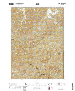
2020 Map of Dement Creek
USGS Topo · Published 2020About this map
Dement Cem sits as a quiet landmark within the timbered drainage of Dement Creek, a landscape defined by the steep ridges separating the South Fork Coquille River from the headwaters of the North Fork Sixes River. This rugged intersection of Coos and Curry counties is crisscrossed by historic access routes like Eckley Mountain Rd and Rowland Creek Co Rd, reflecting a long history of logging and rural homesteading.
Find a feature on this map
39 named features on this map. Tap any name to fly to it.
Don’t see what you’re looking for? This feature index may not catch every label — zoom into the map to look around manually.
Map Details
Editions of this 2020 Dement Creek Map
This is the sole edition of this map. No revisions or reprints were ever made.
Other maps of this area

1896 · Coos Bay
USGS Topo · 1:125,000

1898 · Coos Bay
USGS Topo · 1:125,000

1899 · Port Orford
USGS Topo · 1:125,000

1900 · Coos Bay
USGS Topo · 1:125,000

1903 · Port Orford
USGS Topo · 1:125,000

1942 · Coquille
USGS Topo · 1:62,500

1943 · Bandon
USGS Topo · 1:62,500

1944 · Bandon
USGS Topo · 1:62,500

1945 · Coquille
USGS Topo · 1:62,500

1954 · Coos Bay
USGS Topo · 1:250,000