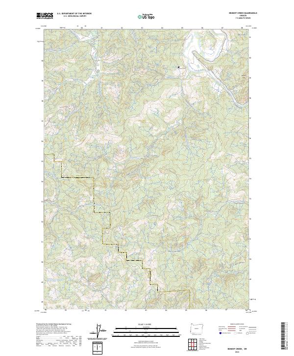
2024 Map of Dement Creek
USGS Topo · Published 2024About this map
Dement Cem sits near the northern bend of the South Fork Coquille River, anchoring a landscape defined by the convergence of the Coast Range's complex drainage systems. The terrain transitions from the river valley southward toward the heights of Eckley Mountain, where the boundaries of Coos and Curry counties meet. Transportation patterns follow these deep drainages, with Dement Creek Rd and Old Eckley Rd tracking the watercourses. Historical industry is visible in the northeast through a preserved Railroad Grade, tracing a path near Whobrey Mtn. This network of creeks, including the North Fork Sixes River and East Fork Floras Creek, illustrates a region where geography dictated early access routes and settlement pockets.
Find a feature on this map
37 named features on this map. Tap any name to fly to it.
Don’t see what you’re looking for? This feature index may not catch every label — zoom into the map to look around manually.
Map Details
Editions of this 2024 Dement Creek Map
This is the sole edition of this map. No revisions or reprints were ever made.
Other maps of this area

1896 · Coos Bay
USGS Topo · 1:125,000

1898 · Coos Bay
USGS Topo · 1:125,000

1899 · Port Orford
USGS Topo · 1:125,000

1900 · Coos Bay
USGS Topo · 1:125,000

1903 · Port Orford
USGS Topo · 1:125,000

1942 · Coquille
USGS Topo · 1:62,500

1943 · Bandon
USGS Topo · 1:62,500

1944 · Bandon
USGS Topo · 1:62,500

1945 · Coquille
USGS Topo · 1:62,500

1954 · Coos Bay
USGS Topo · 1:250,000