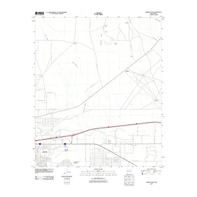
2010 Map of Deming East
USGS Topo · Published 2010About this map
Deming expands eastward toward the desert floor in this 2010 survey, where the urban grid meets the high-desert landscape of the Mimbres Valley. The map captures a point of transition where civic infrastructure like the Southwestern New Mexico State Fairgrounds and the Deming Municipal Airport occupy the edge of town, giving way to the vast drainage patterns of Starvation Draw and China Draw. The arid environment is punctuated by vital water points for cattle and survival, including the Spider Windmill and Lucky Bullet. To the northeast, the terrain begins its ascent toward the Cookes Range, while the ephemeral Mimbres River cuts across the southern portion of the sheet. Traces of the area's mineral history are visible at the Starkey Mine, situated near the small settlements of Starkey and Manning, which sit along the rural road network branching out from the Interstate corridor.
Find a feature on this map
43 named features on this map. Tap any name to fly to it.
Don’t see what you’re looking for? This feature index may not catch every label — zoom into the map to look around manually.
Map Details
Editions of this 2010 Deming East Map
This is the sole edition of this map. No revisions or reprints were ever made.
Other maps of this area

1899 · Deming
USGS Topo · 1:125,000

1915 · Deming
USGS Topo · 1:125,000

1955 · Las Cruces
USGS Topo · 1:250,000

1958 · Las Cruces
USGS Topo · 1:250,000

1964 · Goat Ridge
USGS Topo · 1:24,000

1964 · Florida
USGS Topo · 1:24,000

1964 · Deming West
USGS Topo · 1:24,000

1964 · Massacre Peak
USGS Topo · 1:24,000

1964 · Florida Gap
USGS Topo · 1:24,000

1965 · Deming East
USGS Topo · 1:24,000