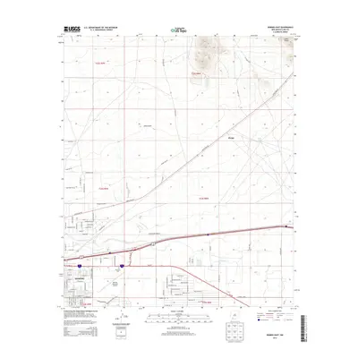
2013 Map of Deming East
USGS Topo · Published 2013About this map
The Mimbres River drainage dominates the southern half of this landscape, moving through the eastern outskirts of Deming toward the ephemeral channels of Starvation Draw. This 2013 U.S. Geological Survey data illustrates the intersection of modern infrastructure and desert topography, where the Deming Municipal Airport and residential developments like those along Zinnia Rd meet the open basins of the high desert. To the north, the terrain transitions into the southern reaches of the Cookes Range, marked by significant drainage systems including China Draw and Rock Tank. The settlement of Mirage sits along the Hatch Hwy NE corridor, reflecting the region's sparse but essential transport network. Genealogists and local historians can locate the Mtn View Cem on the city's eastern edge, providing a focal point for family history research in this part of Luna County.
Find a feature on this map
92 named features on this map. Tap any name to fly to it.
Don’t see what you’re looking for? This feature index may not catch every label — zoom into the map to look around manually.
Map Details
Editions of this 2013 Deming East Map
This is the sole edition of this map. No revisions or reprints were ever made.
Other maps of this area

1899 · Deming
USGS Topo · 1:125,000

1915 · Deming
USGS Topo · 1:125,000

1955 · Las Cruces
USGS Topo · 1:250,000

1958 · Las Cruces
USGS Topo · 1:250,000

1964 · Goat Ridge
USGS Topo · 1:24,000

1964 · Florida
USGS Topo · 1:24,000

1964 · Deming West
USGS Topo · 1:24,000

1964 · Massacre Peak
USGS Topo · 1:24,000

1964 · Florida Gap
USGS Topo · 1:24,000

1965 · Deming East
USGS Topo · 1:24,000