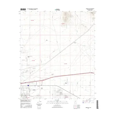
2017 Map of Deming East
USGS Topo · Published 2017About this map
Deming serves as the central hub of this Chihuahuan Desert landscape, situated near the intersection of major transportation corridors and the intermittent course of the Mimbres River. The town's grid expands toward the north and east, where residential developments like Pecan Park and Ventura meet the industrial and agricultural periphery. To the west, the Deming Municipal Airport and the Mountain View Cem reflect the community's established infrastructure and local history.
Find a feature on this map
55 named features on this map. Tap any name to fly to it.
Don’t see what you’re looking for? This feature index may not catch every label — zoom into the map to look around manually.
Map Details
Editions of this 2017 Deming East Map
This is the sole edition of this map. No revisions or reprints were ever made.
Other maps of this area

1899 · Deming
USGS Topo · 1:125,000

1915 · Deming
USGS Topo · 1:125,000

1955 · Las Cruces
USGS Topo · 1:250,000

1958 · Las Cruces
USGS Topo · 1:250,000

1964 · Goat Ridge
USGS Topo · 1:24,000

1964 · Florida
USGS Topo · 1:24,000

1964 · Deming West
USGS Topo · 1:24,000

1964 · Massacre Peak
USGS Topo · 1:24,000

1964 · Florida Gap
USGS Topo · 1:24,000

1965 · Deming East
USGS Topo · 1:24,000