Loading...
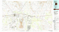
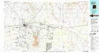
Loading map...1982 Map of Deming
USGS Topo · Published 1983About this map
The high desert of Luna and Dona Ana counties is defined here by the meeting of the Southern Pacific and Atchison Topeka and Santa Fe railroads at Deming. This regional crossroads serves as a hub for the surrounding livestock and mining interests, illustrated by the industrial presence of the Asarco Mill and various Gravel Pits. To the north, the Fort Cummings (Ruins) mark a site of significant territorial history near the southern end of the Cookes Range.
Find a feature on this map
76 named features on this map. Tap any name to fly to it.
Don’t see what you’re looking for? This feature index may not catch every label — zoom into the map to look around manually.
Map Details
Date Portrayed1982
Date Published1983
PublisherU.S. Geological Survey
Map TypeTopographic
Scale1:100,000
Physical Dimensions44 x 24.1 inches
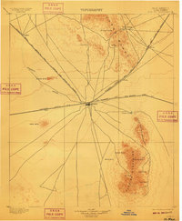
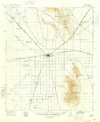
Editions of this 1982 Deming Map
2 editions found
Historical Maps of Deming Through Time
Featured Locations
Source Details
SourceU.S. Geological Survey
CopyrightPublic Domain