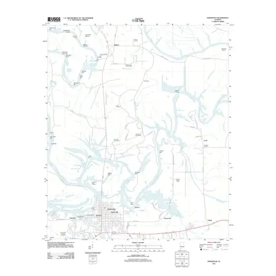
2011 Map of Demopolis
USGS Topo · Published 2011About this map
Demopolis and the surrounding riverlands at the confluence of the Tombigbee River and the Black Warrior River define this 2011 survey. The landscape is deeply tied to the water, featuring a complex network of river landings such as Webbs Landing, Hines Landing, and the Demopolis Inland State Docks. These points of transit, alongside features like the Whitfield Canal, illustrate the enduring importance of river-based commerce and industry to the region.
Find a feature on this map
74 named features on this map. Tap any name to fly to it.
Don’t see what you’re looking for? This feature index may not catch every label — zoom into the map to look around manually.
Map Details
Editions of this 2011 Demopolis Map
This is the sole edition of this map. No revisions or reprints were ever made.
Other maps of this area

1946 · Demopolis
USGS Topo · 1:24,000

1947 · Demopolis
USGS Topo · 1:24,000

1947 · Mason Bend
USGS Topo · 1:24,000

1947 · Forkland
USGS Topo · 1:24,000

1948 · Mason Bend
USGS Topo · 1:24,000

1948 · Mc Dowell
USGS Topo · 1:24,000

1949 · Mc Dowell
USGS Topo · 1:24,000

1949 · Forkland
USGS Topo · 1:24,000

1953 · Montgomery
USGS Topo · 1:250,000

1956 · Montgomery
USGS Topo · 1:250,000