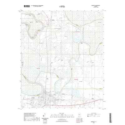
2020 Map of Demopolis
USGS Topo · Published 2020About this map
The confluence of the Tennessee-Tombigbee Waterway and the Black Warrior River dominates this landscape, where the borders of four Alabama counties—Marengo, Greene, Sumter, and Hale—converge. Demopolis serves as the primary hub, showing a detailed street grid including Floyd Ave and E Pettus St. The surrounding countryside is dotted with small communities like Birdeye, Spocari, and Arcola, many of which grew around river bends and industrial sites.
Find a feature on this map
115 named features on this map. Tap any name to fly to it.
Don’t see what you’re looking for? This feature index may not catch every label — zoom into the map to look around manually.
Map Details
Editions of this 2020 Demopolis Map
This is the sole edition of this map. No revisions or reprints were ever made.
Other maps of this area

1946 · Demopolis
USGS Topo · 1:24,000

1947 · Demopolis
USGS Topo · 1:24,000

1947 · Mason Bend
USGS Topo · 1:24,000

1947 · Forkland
USGS Topo · 1:24,000

1948 · Mason Bend
USGS Topo · 1:24,000

1948 · Mc Dowell
USGS Topo · 1:24,000

1949 · Mc Dowell
USGS Topo · 1:24,000

1949 · Forkland
USGS Topo · 1:24,000

1953 · Montgomery
USGS Topo · 1:250,000

1956 · Montgomery
USGS Topo · 1:250,000