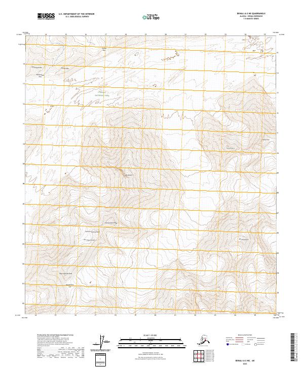
2023 Map of Denali A-2 NE
USGS Topo · Published 2023About this map
Mt Brooks and Mt Deception anchor this high-elevation landscape within the Denali Wilderness and Denali National Park. The survey illustrates a terrain defined by massive peaks and connecting ridges, including the distinct formations of East Pyramid Peak, Central Pyramid Peak, and West Pyramid Peak. The mapping of these features, alongside Mt Tripyramid, provides a precise look at the glaciated topography of the Alaska Range.
Find a feature on this map
25 named features on this map. Tap any name to fly to it.
Don’t see what you’re looking for? This feature index may not catch every label — zoom into the map to look around manually.
Map Details
Editions of this 2023 Denali A-2 NE Map
This is the sole edition of this map. No revisions or reprints were ever made.
Other maps of this area

1952 · Mount McKinley
USGS Topo · 1:250,000

1952 · Mount McKinley B-2
USGS Topo · 1:63,360

1952 · Mount McKinley B-1
USGS Topo · 1:63,360

1954 · Mount McKinley B-1
USGS Topo · 1:63,360

1954 · Mount McKinley A-2
USGS Topo · 1:63,360

1954 · Mount McKinley A-1
USGS Topo · 1:63,360

1954 · Mount McKinley B-2
USGS Topo · 1:63,360

1958 · Mount McKinley
USGS Topo · 1:250,000

1969 · Mount McKinley
USGS Topo · 1:250,000
2015 · Denali B-2 SW
USGS Topo · 1:25,000