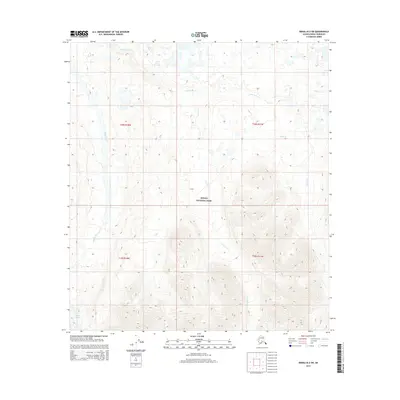
2015 Map of Denali B-2 SW
USGS Topo · Published 2015About this map
Denali National Park encompasses the vast majority of this landscape, characterized by dramatic elevation changes and a complex hydrological network. The western portion of the quadrangle is defined by the broad path of the Muddy River, while the high-altitude terrain in the south is anchored by the presence of Peters Glacier. Numerous drainages, including Clearwater Creek, Carlson Creek, and Cache Creek, flow through the mountainous interior, illustrating the primary water courses that shape this protected wilderness. The absence of roads or established settlements emphasizes the pristine nature of this region during the 2015 survey, serving as a baseline for understanding the glacial and riverine systems within the park boundaries.
Find a feature on this map
10 named features on this map. Tap any name to fly to it.
Don’t see what you’re looking for? This feature index may not catch every label — zoom into the map to look around manually.
Map Details
Editions of this 2015 Denali B-2 SW Map
This is the sole edition of this map. No revisions or reprints were ever made.
Other maps of this area

1952 · Mount McKinley
USGS Topo · 1:250,000

1952 · Mount McKinley B-2
USGS Topo · 1:63,360

1953 · Mount McKinley B-3
USGS Topo · 1:63,360

1954 · Mount McKinley B-3
USGS Topo · 1:63,360

1954 · Mount McKinley A-2
USGS Topo · 1:63,360

1954 · Mount McKinley A-3
USGS Topo · 1:63,360

1954 · Mount McKinley B-2
USGS Topo · 1:63,360

1958 · Mount McKinley
USGS Topo · 1:250,000

1969 · Mount McKinley
USGS Topo · 1:250,000
2015 · Denali A-3 NE
USGS Topo · 1:25,000