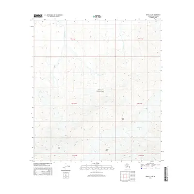
2015 Map of Denali A-3 NE
USGS Topo · Published 2015About this map
Denali National Park encompasses this high-elevation landscape, where glacial activity and severe topography define the environment. The map highlights the massive frozen flows of Jeffery Glacier and Peters Glacier, which are fed by the steep descent of the Tluna Icefall in the southwestern quadrant. These glacial features are flanked by prominent high points, including Jeffery Dome and the towering Peters Dome. The drainage pattern is dictated by these ice masses, with Slippery Creek and Iron Cr carrying meltwater north. The lack of man-made infrastructure or settlements emphasizes the preserved wilderness state of this part of the Alaska-Denali Borough during the early twenty-first century. Geographic markers such as Jeffery Point and the winding course of McLeod Creek provide the only navigational references in a region dominated by permanent ice and sharp ridgelines.
Find a feature on this map
17 named features on this map. Tap any name to fly to it.
Don’t see what you’re looking for? This feature index may not catch every label — zoom into the map to look around manually.
Map Details
Editions of this 2015 Denali A-3 NE Map
This is the sole edition of this map. No revisions or reprints were ever made.
Other maps of this area

1952 · Mount McKinley
USGS Topo · 1:250,000

1952 · Mount McKinley B-2
USGS Topo · 1:63,360

1953 · Mount McKinley B-3
USGS Topo · 1:63,360

1954 · Mount McKinley B-3
USGS Topo · 1:63,360

1954 · Mount McKinley A-2
USGS Topo · 1:63,360

1954 · Mount McKinley A-3
USGS Topo · 1:63,360

1954 · Mount McKinley B-2
USGS Topo · 1:63,360

1958 · Mount McKinley
USGS Topo · 1:250,000

1969 · Mount McKinley
USGS Topo · 1:250,000
2015 · Denali B-2 SW
USGS Topo · 1:25,000