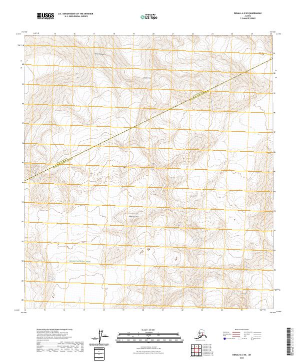
2023 Map of Denali A-2 SE
USGS Topo · Published 2023About this map
Mt Silverthrone and Explorers Peak dominate this high-altitude landscape within the interior of Alaska. This survey reflects the modern boundaries of the Denali Wilderness and Denali National Park, areas defined by their extreme vertical relief and glacial terrain. The map serves as a primary record of the boundary between Denali Borough and Matanuska-Susitna Borough, which cuts diagonally across the topographic contours. This remote segment of the Alaska Range is characterized by massive elevation changes, with Brooks Gap providing a named navigational point amidst the surrounding peaks. The absence of roads or man-made structures highlights the protected, primitive state of the wilderness as maintained by the National Park Service and U.S. Geological Survey in the twenty-first century.
Find a feature on this map
12 named features on this map. Tap any name to fly to it.
Don’t see what you’re looking for? This feature index may not catch every label — zoom into the map to look around manually.
Map Details
Editions of this 2023 Denali A-2 SE Map
This is the sole edition of this map. No revisions or reprints were ever made.
Other maps of this area

1950 · Talkeetna
USGS Topo · 1:250,000

1951 · Talkeetna
USGS Topo · 1:250,000

1952 · Mount McKinley
USGS Topo · 1:250,000

1954 · Mount McKinley A-2
USGS Topo · 1:63,360

1954 · Mount McKinley A-1
USGS Topo · 1:63,360

1958 · Talkeetna D-2
USGS Topo · 1:63,360
1958 · Talkeetna D-1
USGS Topo · 1:63,360

1958 · Talkeetna
USGS Topo · 1:250,000

1958 · Mount McKinley
USGS Topo · 1:250,000

1965 · Talkeetna
USGS Topo · 1:250,000