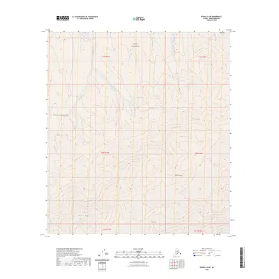
2023 Map of Denali A-3 NE
USGS Topo · Published 2023About this map
Denali National Park and the Denali Wilderness characterize this high-elevation landscape in interior Alaska. The terrain is defined by prominent topographical features including Jeffery Dome and Peters Dome, which rise above the surrounding drainage networks. Waterways such as Slippery Creek, Iron Creek, and McLeod Creek cut through the landscape, following the natural contours of the Alaskan interior. The map illustrates a strictly natural environment, where the absence of roads or structures emphasizes the protected status of the wilderness. The survey details the complex drainage patterns and elevation changes at Jeffery Point, reflecting the characteristic geography of the Denali region as it was documented by the U.S. Geological Survey in the early twenty-first century.
Find a feature on this map
14 named features on this map. Tap any name to fly to it.
Don’t see what you’re looking for? This feature index may not catch every label — zoom into the map to look around manually.
Map Details
Editions of this 2023 Denali A-3 NE Map
This is the sole edition of this map. No revisions or reprints were ever made.
Other maps of this area

1952 · Mount McKinley
USGS Topo · 1:250,000

1952 · Mount McKinley B-2
USGS Topo · 1:63,360

1953 · Mount McKinley B-3
USGS Topo · 1:63,360

1954 · Mount McKinley B-3
USGS Topo · 1:63,360

1954 · Mount McKinley A-2
USGS Topo · 1:63,360

1954 · Mount McKinley A-3
USGS Topo · 1:63,360

1954 · Mount McKinley B-2
USGS Topo · 1:63,360

1958 · Mount McKinley
USGS Topo · 1:250,000

1969 · Mount McKinley
USGS Topo · 1:250,000
2015 · Denali A-3 NE
USGS Topo · 1:25,000