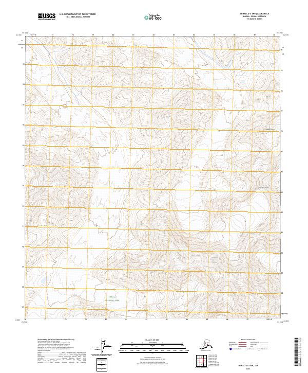
2023 Map of Denali A-3 SW
USGS Topo · Published 2023About this map
Denali National Park and the protected Denali Wilderness define this high-altitude landscape in the heart of the Alaska Range. This 2023 survey provides precise topographic detail of the ice-covered peaks and glacial valleys that characterize the interior of the park. Dominant features include the massive elevation of Mt Crosson in the southern reaches and the distinct form of Kahiltna Dome to the east. The map is organized by the Public Land Survey System, showing several townships including t21s r20w and t22s r20w. This documentation captures the modern extent of these glacial landmarks, serving as a baseline for understanding the current state of one of the most protected environments in the United States.
Find a feature on this map
11 named features on this map. Tap any name to fly to it.
Don’t see what you’re looking for? This feature index may not catch every label — zoom into the map to look around manually.
Map Details
Editions of this 2023 Denali A-3 SW Map
This is the sole edition of this map. No revisions or reprints were ever made.
Other maps of this area

1950 · Talkeetna
USGS Topo · 1:250,000

1951 · Talkeetna
USGS Topo · 1:250,000

1952 · Mount McKinley
USGS Topo · 1:250,000

1953 · Mount McKinley A-4
USGS Topo · 1:63,360

1954 · Mount McKinley A-4
USGS Topo · 1:63,360

1954 · Mount McKinley A-3
USGS Topo · 1:63,360

1958 · Talkeetna D-4
USGS Topo · 1:63,360

1958 · Talkeetna D-3
USGS Topo · 1:63,360

1958 · Talkeetna
USGS Topo · 1:250,000

1958 · Mount McKinley
USGS Topo · 1:250,000