
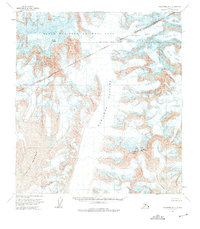
1958 Map of Talkeetna D-3
USGS Topo · Published 1963About this map
Mount Mc Kinley National Park contains some of the most formidable alpine terrain in the Alaska Range, as documented in this mid-century topographic study. The landscape is dominated by the massive ice fields of the Kahiltna Glacier and Lacuna Glacier, which carve deep valleys between towering peaks. Elevation data captured from 1952 aerial photography illustrates the complex glacial systems of the era, including the Tokositna Glacier and the Kanikula Glacier.
Find a feature on this map
11 named features on this map. Tap any name to fly to it.
Don’t see what you’re looking for? This feature index may not catch every label — zoom into the map to look around manually.
Map Details
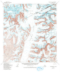
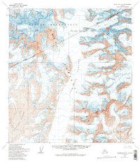
Editions of this 1958 Talkeetna D-3 Map
4 editions found
Other maps of this area

1950 · Talkeetna
USGS Topo · 1:250,000

1951 · Talkeetna
USGS Topo · 1:250,000

1952 · Mount McKinley
USGS Topo · 1:250,000

1953 · Mount McKinley A-4
USGS Topo · 1:63,360

1954 · Mount McKinley A-4
USGS Topo · 1:63,360

1954 · Mount McKinley A-2
USGS Topo · 1:63,360

1954 · Mount McKinley A-3
USGS Topo · 1:63,360

1958 · Talkeetna C-4
USGS Topo · 1:63,360

1958 · Talkeetna C-2
USGS Topo · 1:63,360

1958 · Talkeetna D-4
USGS Topo · 1:63,360