
1958 Map of Talkeetna C-2
USGS Topo · Published 1963About this map
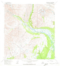
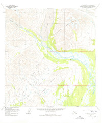
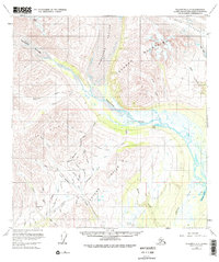
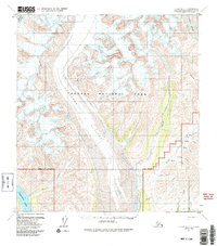
Tokosha Mountains and the Dutch Hills dominate this mid-century look at the southern approach to the Alaska Range. The landscape is defined by massive glacial systems, including the Kanikula Glacier, Tokositna Glacier, and Ruth Glacier, which feed the braided Tokositna River. Remote human activity is evidenced by scattered Placer Mines located primarily along the gulches and creeks within the foothills, such as Gopher Gulch and Cache Creek. Connectivity in this roadless wilderness relied on the Tractor Trail and isolated infrastructure like the Landing Strip near the Peters Hills. The presence of small Cabins near Home Lake and Bunco Lake suggests seasonal use by miners or hunters, illustrating the survival and extraction economy of this high-latitude environment before modern expansion.
Find a feature on this map
43 named features on this map. Tap any name to fly to it.
Don’t see what you’re looking for? This feature index may not catch every label — zoom into the map to look around manually.
Map Details
Editions of this 1958 Talkeetna C-2 Map
5 editions found
Other maps of this area

1950 · Talkeetna
USGS Topo · 1:250,000

1951 · Talkeetna
USGS Topo · 1:250,000

1951 · Talkeetna B-1
USGS Topo · 1:63,360

1951 · Talkeetna C-1
USGS Topo · 1:63,360

1954 · Talkeetna B-3
USGS Topo · 1:63,360

1954 · Talkeetna B-2
USGS Topo · 1:63,360

1958 · Talkeetna B-1
USGS Topo · 1:63,360

1958 · Talkeetna C-1
USGS Topo · 1:63,360

1958 · Talkeetna D-2
USGS Topo · 1:63,360

1958 · Talkeetna C-3
USGS Topo · 1:63,360