
1954 Map of Talkeetna B-2
USGS Topo · Published 1962About this map
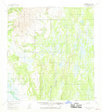
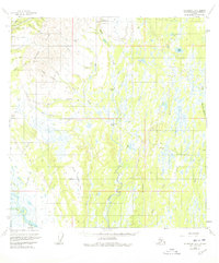
Petersville stands at the northern edge of this Alaskan landscape, a hub for the mining activity concentrated along the upper drainages. The influence of the early 1950s mining industry is evident in the presence of Placer Mines and Dredge Tailing near the town, supported by a nearby Airstrip and a Tractor Trail cutting through the center of the sheet. The terrain transitions from the high, relief-rich Peters Hills and Little Peters Hills down into a complex lowland of muskeg and unnamed swamps to the east.
Find a feature on this map
37 named features on this map. Tap any name to fly to it.
Don’t see what you’re looking for? This feature index may not catch every label — zoom into the map to look around manually.
Map Details
Editions of this 1954 Talkeetna B-2 Map
3 editions found
Other maps of this area

1950 · Talkeetna
USGS Topo · 1:250,000

1951 · Talkeetna
USGS Topo · 1:250,000

1951 · Talkeetna B-1
USGS Topo · 1:63,360

1951 · Talkeetna C-1
USGS Topo · 1:63,360

1952 · Talkeetna A-1
USGS Topo · 1:63,360

1954 · Talkeetna A-3
USGS Topo · 1:63,360

1954 · Talkeetna A-2
USGS Topo · 1:63,360

1954 · Talkeetna B-3
USGS Topo · 1:63,360

1958 · Talkeetna B-1
USGS Topo · 1:63,360

1958 · Talkeetna C-1
USGS Topo · 1:63,360