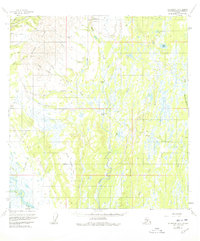
1954 Map of Talkeetna B-2
USGS Topo · Published 1978About this map
Peters Hills dominate the northwestern quadrant of this interior landscape, where the legacy of early mid-century mining is etched into the terrain. Near the settlement of Petersville, the presence of Placer Mines and extensive Dredge Tailings along Peters Creek highlights the area's industrial importance during the 1950s. A primitive Tractor Trail provides one of the few overland routes through the marshy lowlands to the south, connecting remote cabins to the small Landing Strip near the headwaters.
Find a feature on this map
42 named features on this map. Tap any name to fly to it.
Don’t see what you’re looking for? This feature index may not catch every label — zoom into the map to look around manually.
Map Details
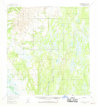
Editions of this 1954 Talkeetna B-2 Map
3 editions found
Other maps of this area

1950 · Talkeetna
USGS Topo · 1:250,000

1951 · Talkeetna
USGS Topo · 1:250,000

1951 · Talkeetna B-1
USGS Topo · 1:63,360

1951 · Talkeetna C-1
USGS Topo · 1:63,360

1952 · Talkeetna A-1
USGS Topo · 1:63,360

1954 · Talkeetna A-3
USGS Topo · 1:63,360

1954 · Talkeetna A-2
USGS Topo · 1:63,360

1954 · Talkeetna B-3
USGS Topo · 1:63,360

1954 · Talkeetna B-2
USGS Topo · 1:63,360

1958 · Talkeetna B-1
USGS Topo · 1:63,360