
1954 Map of Talkeetna A-3
USGS Topo · Published 1961About this map
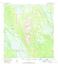
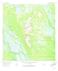
Mount Yenlo and the surrounding Yenlo Hills dominate this mid-century survey of the Matanuska-Susitna region. The landscape is defined by an intricate network of waterways, where the Yenna River and the Yenna Slough meander through low-lying marshlands and numerous unnamed ponds. A single Cabin appears north of Willow Mountain, suggesting the minimal human footprint in this wilderness during the early 1950s.
Find a feature on this map
16 named features on this map. Tap any name to fly to it.
Don’t see what you’re looking for? This feature index may not catch every label — zoom into the map to look around manually.
Map Details
Editions of this 1954 Talkeetna A-3 Map
3 editions found
Other maps of this area

1949 · Tyonek
USGS Topo · 1:250,000

1950 · Talkeetna
USGS Topo · 1:250,000

1951 · Talkeetna
USGS Topo · 1:250,000

1951 · Tyonek
USGS Topo · 1:250,000

1954 · Tyonek D-3
USGS Topo · 1:63,360

1954 · Tyonek D-5
USGS Topo · 1:63,360

1954 · Tyonek D-4
USGS Topo · 1:63,360

1954 · Talkeetna B-4
USGS Topo · 1:63,360

1954 · Talkeetna A-2
USGS Topo · 1:63,360

1954 · Talkeetna A-4
USGS Topo · 1:63,360