
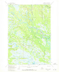
1954 Map of Tyonek D-3
USGS Topo · Published 1961About this map
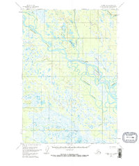
The Yentna River and Kahiltna River dominate this mid-century landscape in the Susitna River basin, where river travel and isolation defined the few human outposts. The settlement at McDougal (Aband) reflects the changing nature of northern outposts during this era, while scattered Cabins along the water suggest the seasonal rhythms of trapping, fishing, or surveying. Extensive wetlands and intricate waterways like Twentymile Slough and Deep Creek crisscross the terrain, showing a region largely untouched by formal road networks. Large freshwater bodies, including Alexander Lake and Bulchitna Lake, serve as significant landmarks in this unsurveyed territory. The map provides a detailed view of these remote drainage systems, including Kutna Creek and Bottle Creek, before modern infrastructure reached further into the Alaskan interior.
Find a feature on this map
15 named features on this map. Tap any name to fly to it.
Don’t see what you’re looking for? This feature index may not catch every label — zoom into the map to look around manually.
Map Details
Editions of this 1954 Tyonek D-3 Map
3 editions found
Other maps of this area

1949 · Tyonek
USGS Topo · 1:250,000

1950 · Talkeetna
USGS Topo · 1:250,000

1951 · Talkeetna
USGS Topo · 1:250,000

1951 · Tyonek
USGS Topo · 1:250,000

1954 · Tyonek D-2
USGS Topo · 1:63,360

1954 · Talkeetna A-3
USGS Topo · 1:63,360

1954 · Tyonek C-4
USGS Topo · 1:63,360

1954 · Tyonek D-4
USGS Topo · 1:63,360

1954 · Talkeetna A-2
USGS Topo · 1:63,360

1954 · Tyonek C-3
USGS Topo · 1:63,360