
1954 Map of Tyonek C-3
USGS Topo · Published 1961About this map
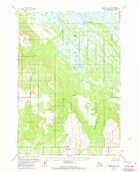
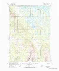
Beluga Mountain and Little Mt Susitna anchor this mid-century Alaskan landscape, which is defined by an intricate network of waterways and wetlands south of the Alaska Range. Sparse seasonal human presence is noted by isolated Cabins situated near Alexander Lake and the northern reaches of Alexander Creek. The terrain reveals a complex hydrology where Upper Sucker Creek and Lower Sucker Creek drain through a series of significant water bodies including Sucker Lake and Rabbit Lake. This survey captures the region as it existed before modern development, showing unsurveyed land lines predetermined by the Bureau of Land Management. The area is heavily marked by seasonal features like Texas Lake and the Wolf Lakes, illustrating a drainage pattern that flows toward the Susitna River basin through corridors like Wolverine Creek and Snag Creek.
Find a feature on this map
16 named features on this map. Tap any name to fly to it.
Don’t see what you’re looking for? This feature index may not catch every label — zoom into the map to look around manually.
Map Details
Editions of this 1954 Tyonek C-3 Map
3 editions found
Other maps of this area

1949 · Tyonek
USGS Topo · 1:250,000

1951 · Tyonek
USGS Topo · 1:250,000

1954 · Tyonek D-2
USGS Topo · 1:63,360

1954 · Tyonek D-3
USGS Topo · 1:63,360

1954 · Tyonek C-4
USGS Topo · 1:63,360

1954 · Tyonek B-4
USGS Topo · 1:63,360

1954 · Tyonek D-4
USGS Topo · 1:63,360

1958 · Tyonek C-2
USGS Topo · 1:63,360

1958 · Tyonek B-3
USGS Topo · 1:63,360

1958 · Tyonek B-2
USGS Topo · 1:63,360