
1954 Map of Tyonek B-4
USGS Topo · Published 1961About this map
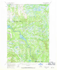
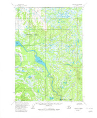
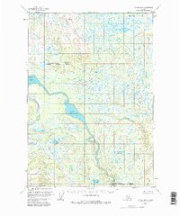
Beluga River dominates this mid-century wilderness survey, winding through a vast wetland landscape defined by shifting watercourses and numerous glacial lakes. The 1954 field data reveals a territory largely devoid of permanent development, save for a solitary Cabin located west of Beluga Lake. This area of the Matanuska-Susitna region shows a complex hydrologic network where the Chichantna River meets the larger Beluga drainage, feeding into the expansive Lower Beluga Lake.
Find a feature on this map
11 named features on this map. Tap any name to fly to it.
Don’t see what you’re looking for? This feature index may not catch every label — zoom into the map to look around manually.
Map Details
Editions of this 1954 Tyonek B-4 Map
4 editions found
Other maps of this area

1949 · Tyonek
USGS Topo · 1:250,000

1951 · Tyonek
USGS Topo · 1:250,000

1954 · Tyonek C-5
USGS Topo · 1:63,360

1954 · Tyonek C-4
USGS Topo · 1:63,360

1954 · Tyonek C-3
USGS Topo · 1:63,360

1958 · Tyonek A-5
USGS Topo · 1:63,360

1958 · Tyonek B-3
USGS Topo · 1:63,360

1958 · Tyonek A-4
USGS Topo · 1:63,360
1958 · Tyonek A-3
USGS Topo · 1:63,360

1958 · Tyonek B-5
USGS Topo · 1:63,360