
1954 Map of Tyonek D-2
USGS Topo · Published 1961About this map
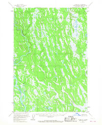
Kahiltna River and the Yentna River dominate this 1950s landscape, their winding courses carving through a complex network of wetlands and low-relief terrain. The map reflects a period before extensive modern development, based on 1952 aerial photography and 1954 field data. Sparse human presence is indicated by an isolated Cabin located near the southern shore of Lockwood Lake, highlighting the remote nature of the region at the time. The drainage patterns of Kroto Creek and Moose Creek further define the intricate hydrology of the area. Because the land lines shown were predetermined by the Bureau of Land Management but remained largely unsurveyed and unmarked on the ground, the map serves as an important record of early territorial planning and the raw physical geography of the Matanuska-Susitna region during the mid-century era.
Find a feature on this map
7 named features on this map. Tap any name to fly to it.
Don’t see what you’re looking for? This feature index may not catch every label — zoom into the map to look around manually.
Map Details
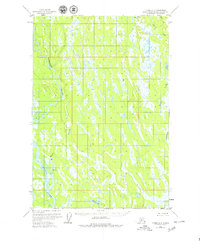
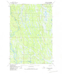
Editions of this 1954 Tyonek D-2 Map
4 editions found
Other maps of this area

1949 · Tyonek
USGS Topo · 1:250,000

1950 · Talkeetna
USGS Topo · 1:250,000

1951 · Talkeetna
USGS Topo · 1:250,000

1951 · Tyonek
USGS Topo · 1:250,000

1952 · Tyonek D-1
USGS Topo · 1:63,360

1952 · Talkeetna A-1
USGS Topo · 1:63,360

1952 · Tyonek C-1
USGS Topo · 1:63,360

1954 · Tyonek D-3
USGS Topo · 1:63,360

1954 · Tyonek D-1
USGS Topo · 1:63,360

1954 · Talkeetna A-2
USGS Topo · 1:63,360