
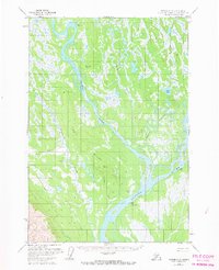
1958 Map of Tyonek C-2
USGS Topo · Published 1961About this map
Susitna Station sits at the vital confluence where the Yentna River meets the silty expanse of the Susitna River, serving as a primary focal point for human activity in this riverine landscape. This 1950s-era survey documents a region defined by complex waterways and seasonal transportation, with a Cem and various Cabins indicating localized settlement and subsistence. The reliance on winter travel is evident through the presence of a Winter Airstrip and an extensive overland Trail that parallels the Alexander Creek drainage. The terrain is a mosaic of wetlands and ridges, notably where the Kroto Slough meanders through the lowlands east of the main river channel. For the researcher, the map preserves the location of scattered outposts and high-ground benchmarks like VABM Sitna 151 that guided bush pilots and surveyors through the Matanuska-Susitna wilderness.
Find a feature on this map
23 named features on this map. Tap any name to fly to it.
Don’t see what you’re looking for? This feature index may not catch every label — zoom into the map to look around manually.
Map Details
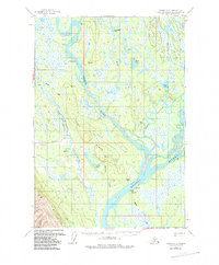
Editions of this 1958 Tyonek C-2 Map
3 editions found
Other maps of this area

1949 · Tyonek
USGS Topo · 1:250,000

1951 · Tyonek
USGS Topo · 1:250,000

1952 · Tyonek D-1
USGS Topo · 1:63,360

1952 · Tyonek C-1
USGS Topo · 1:63,360

1954 · Tyonek D-2
USGS Topo · 1:63,360

1954 · Tyonek D-3
USGS Topo · 1:63,360

1954 · Tyonek D-1
USGS Topo · 1:63,360

1954 · Tyonek C-3
USGS Topo · 1:63,360

1958 · Tyonek B-1
USGS Topo · 1:63,360

1958 · Tyonek B-3
USGS Topo · 1:63,360