
1958 Map of Talkeetna C-1
USGS Topo · Published 1960About this map
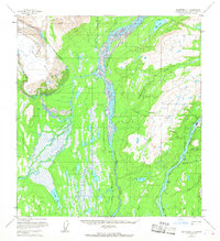
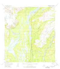
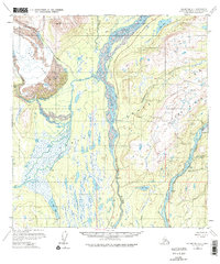
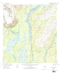
The Alaska Railroad serves as the primary corridor for movement through this river-carved landscape, tracing the eastern bank of the Susitna River. This mid-century survey captures a critical junction at Curry, where rail infrastructure and a nearby airstrip supported transit into the interior. The hydrology is dominated by the massive braided channels of the Chulitna River and Tokichitna River, which converge amidst a dense network of marshes and smaller lakes like Swan Lake and Blair Lake. To the northwest, the edge of the Ruth Glacier serves as a stark reminder of the glacial forces shaping these valleys. Evidence of rugged exploration and utility is found in the Tractor Trail running south and the isolated cabins that dot the riverbanks, alongside high-altitude markers such as the Curry Lookout and VABM Alder 4270.
Find a feature on this map
24 named features on this map. Tap any name to fly to it.
Don’t see what you’re looking for? This feature index may not catch every label — zoom into the map to look around manually.
Map Details
Editions of this 1958 Talkeetna C-1 Map
5 editions found
Other maps of this area

1949 · Talkeetna Mountains D-6
USGS Topo · 1:63,360

1949 · Talkeetna Mountains B-6
USGS Topo · 1:63,360

1949 · Talkeetna Mountains C-6
USGS Topo · 1:63,360

1950 · Talkeetna Mountains
USGS Topo · 1:250,000

1950 · Talkeetna
USGS Topo · 1:250,000

1951 · Talkeetna
USGS Topo · 1:250,000

1951 · Talkeetna B-1
USGS Topo · 1:63,360

1951 · Talkeetna C-1
USGS Topo · 1:63,360

1951 · Talkeetna Mountains D-6
USGS Topo · 1:63,360

1952 · Talkeetna Mountains C-6
USGS Topo · 1:63,360