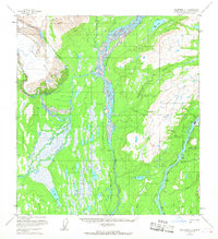
1958 Map of Talkeetna C-1
USGS Topo · Published 1967About this map
The Alaska Railroad cuts a narrow path through the Talkeetna Mountains in this late 1950s survey of the Matanuska-Susitna region. Centered on the settlement of Curry, the map shows a landscape defined by the massive Chulitna River and Susitna River systems. To the west, the ice of the Ruth Glacier feeds into the Tokositna River, while numerous small lakes like Byers Lake and Blair Lake dot the wetlands. A notable Tractor Trail is marked as being under construction during the survey, signifying early infrastructure development in this remote corridor. The presence of a Landing Strip near Curry and a high-altitude Curry Lookout further emphasize the region's reliance on air travel and fire monitoring in the mid-20th century.
Find a feature on this map
25 named features on this map. Tap any name to fly to it.
Don’t see what you’re looking for? This feature index may not catch every label — zoom into the map to look around manually.
Map Details
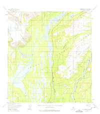
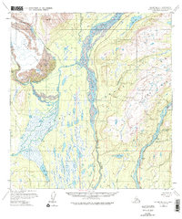
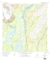
Editions of this 1958 Talkeetna C-1 Map
5 editions found

Other maps of this area

1949 · Talkeetna Mountains D-6
USGS Topo · 1:63,360

1949 · Talkeetna Mountains B-6
USGS Topo · 1:63,360

1949 · Talkeetna Mountains C-6
USGS Topo · 1:63,360

1950 · Talkeetna Mountains
USGS Topo · 1:250,000

1950 · Talkeetna
USGS Topo · 1:250,000

1951 · Talkeetna
USGS Topo · 1:250,000

1951 · Talkeetna B-1
USGS Topo · 1:63,360

1951 · Talkeetna C-1
USGS Topo · 1:63,360

1951 · Talkeetna Mountains D-6
USGS Topo · 1:63,360

1952 · Talkeetna Mountains C-6
USGS Topo · 1:63,360