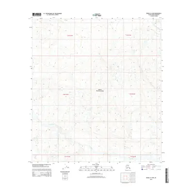
2015 Map of Denali A-4 NW
USGS Topo · Published 2015About this map
Denali National Park encompasses this entire sub-quadrangle, showcasing a landscape defined by glacial outwash and braided river systems. The Foraker River flows through the northeastern corner, while the Herron River meanders across the southern sections, illustrating the complex drainage patterns of the Alaska Range. These waterways are accompanied by smaller tributaries like White Cr, which cuts through the northern townships. This 2015 U.S. Geological Survey representation reflects the wilderness character of the park, where modern mapping technologies like SPOT imagery and National Elevation Dataset contours delineate the elevation changes without the presence of permanent settlements or roads. The map serves as a record of the park's hydrography and topography within the t20s r23w and t20s r22w survey blocks.
Find a feature on this map
10 named features on this map. Tap any name to fly to it.
Don’t see what you’re looking for? This feature index may not catch every label — zoom into the map to look around manually.
Map Details
Editions of this 2015 Denali A-4 NW Map
This is the sole edition of this map. No revisions or reprints were ever made.
Other maps of this area

1952 · Mount McKinley
USGS Topo · 1:250,000

1952 · Mount McKinley A-5
USGS Topo · 1:63,360

1953 · Mount McKinley B-4
USGS Topo · 1:63,360

1953 · Mount McKinley B-5
USGS Topo · 1:63,360

1953 · Mount McKinley A-4
USGS Topo · 1:63,360

1954 · Mount McKinley A-4
USGS Topo · 1:63,360

1954 · Mount McKinley B-5
USGS Topo · 1:63,360

1954 · Mount McKinley A-5
USGS Topo · 1:63,360

1958 · Mount McKinley
USGS Topo · 1:250,000

1969 · Mount McKinley
USGS Topo · 1:250,000