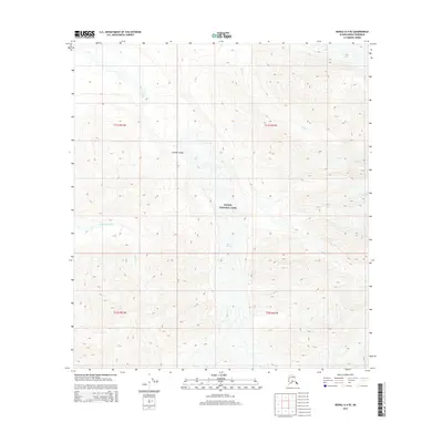
2015 Map of Denali A-4 SE
USGS Topo · Published 2015About this map
Denali National Park encompasses this high-altitude landscape where the Alaska Range dominates the topography. The area is defined by massive glacial systems, most notably the Herron Glacier and a portion of the Foraker Glacier, which feed the drainages of the Herron River and White Cr. The map captures a wilderness devoid of roads or permanent structures, illustrating the raw geological forces of the interior. Dramatic elevation changes are evident in the steep contours surrounding Somber Creek, reflecting the uncompromising environment protected within the park boundaries. For those studying the glacial retreat or the hydrology of the northern range, this survey provides a precise look at the terminus points and drainage patterns of these ice fields as they existed in the early 21st century.
Find a feature on this map
12 named features on this map. Tap any name to fly to it.
Don’t see what you’re looking for? This feature index may not catch every label — zoom into the map to look around manually.
Map Details
Editions of this 2015 Denali A-4 SE Map
This is the sole edition of this map. No revisions or reprints were ever made.
Other maps of this area

1950 · Talkeetna
USGS Topo · 1:250,000

1951 · Talkeetna
USGS Topo · 1:250,000

1952 · Mount McKinley
USGS Topo · 1:250,000

1953 · Mount McKinley A-4
USGS Topo · 1:63,360

1954 · Mount McKinley A-4
USGS Topo · 1:63,360

1954 · Mount McKinley A-3
USGS Topo · 1:63,360

1958 · Talkeetna D-4
USGS Topo · 1:63,360

1958 · Talkeetna D-3
USGS Topo · 1:63,360

1958 · Talkeetna
USGS Topo · 1:250,000

1958 · Mount McKinley
USGS Topo · 1:250,000