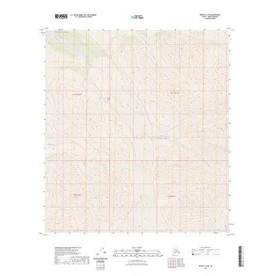
2023 Map of Denali A-4 SE
USGS Topo · Published 2023About this map
The Alaska Range dominates this portion of the interior, where the glacial and river systems carve through high-elevation terrain. This survey illustrates the protected landscapes of both the Denali Wilderness and Denali National Park, highlighting the intersection of these two distinct conservation designations. The drainage patterns are defined by the Herron River in the northwest and White Creek in the north, while Somber Creek flows through the western reaches of the quadrangle. The map is primarily characterized by its lack of human-built infrastructure, showing the territory as a roadless expanse of the subarctic. The data, compiled from recent imagery and hydrography datasets, captures the untouched character of the mountains and valleys before they descend toward the lower plains.
Find a feature on this map
10 named features on this map. Tap any name to fly to it.
Don’t see what you’re looking for? This feature index may not catch every label — zoom into the map to look around manually.
Map Details
Editions of this 2023 Denali A-4 SE Map
This is the sole edition of this map. No revisions or reprints were ever made.
Other maps of this area

1950 · Talkeetna
USGS Topo · 1:250,000

1951 · Talkeetna
USGS Topo · 1:250,000

1952 · Mount McKinley
USGS Topo · 1:250,000

1953 · Mount McKinley A-4
USGS Topo · 1:63,360

1954 · Mount McKinley A-4
USGS Topo · 1:63,360

1954 · Mount McKinley A-3
USGS Topo · 1:63,360

1958 · Talkeetna D-4
USGS Topo · 1:63,360

1958 · Talkeetna D-3
USGS Topo · 1:63,360

1958 · Talkeetna
USGS Topo · 1:250,000

1958 · Mount McKinley
USGS Topo · 1:250,000