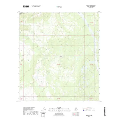
2017 Map of Denali A-5 NE
USGS Topo · Published 2017About this map
Denali National Park and Denali National Preserve dominate this subarctic landscape, where human development is entirely absent in favor of natural drainages. The map traces the winding course of Highpower Cr as it meanders across the central and western sections, eventually flanked by the glacial waters of the Herron River along the eastern boundary. This 2017 study illustrates a region defined by its hydrography rather than its infrastructure, as no roads or structures are recorded within these protected boundaries. The terrain is a complex network of wetlands and small ponds, characteristic of the interior Alaskan tundra, providing a detailed look at the hydrological patterns that shape this protected wilderness near the turn of the 21st century.
Find a feature on this map
13 named features on this map. Tap any name to fly to it.
Don’t see what you’re looking for? This feature index may not catch every label — zoom into the map to look around manually.
Map Details
Editions of this 2017 Denali A-5 NE Map
This is the sole edition of this map. No revisions or reprints were ever made.
Other maps of this area

1952 · Mount McKinley
USGS Topo · 1:250,000

1952 · Mount McKinley A-5
USGS Topo · 1:63,360

1953 · Mount McKinley B-4
USGS Topo · 1:63,360

1953 · Mount McKinley B-5
USGS Topo · 1:63,360

1953 · Mount McKinley A-4
USGS Topo · 1:63,360

1954 · Mount McKinley A-4
USGS Topo · 1:63,360

1954 · Mount McKinley B-5
USGS Topo · 1:63,360

1954 · Mount McKinley A-5
USGS Topo · 1:63,360

1958 · Mount McKinley
USGS Topo · 1:250,000

1969 · Mount McKinley
USGS Topo · 1:250,000