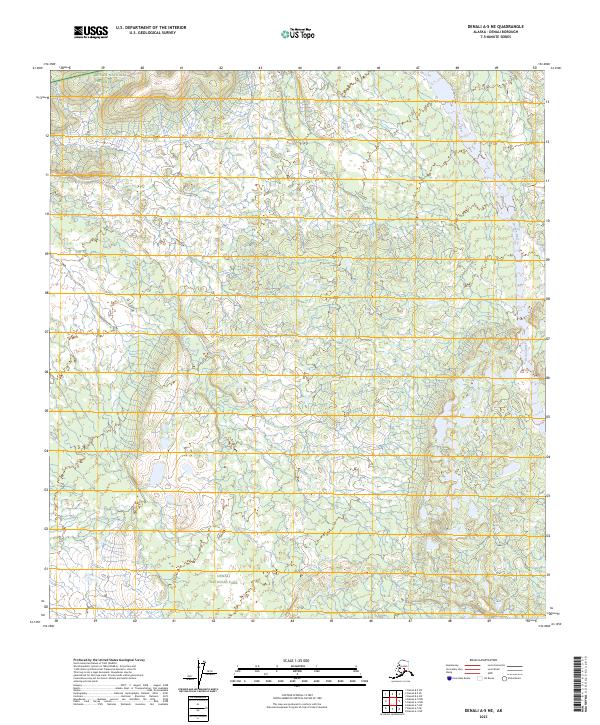
2023 Map of Denali A-5 NE
USGS Topo · Published 2023About this map
Denali National Preserve and Denali National Park meet in this interior Alaskan landscape, which remains largely untouched by modern road networks or permanent settlements. The terrain is defined by its glacial hydrology, most notably where the Herron River flows northward through the eastern portion of the quadrangle. Other significant drainages include the meandering Highpower Creek and the seasonally fluctuating Dry Creek, both of which cut through the protected wilderness. This map provides a look at the land as managed by the U.S. Geological Survey in 2023, showing the intersection of several township and range boundaries including t19s r24w and t20s r24w. The area designated as Denali Wilderness occupies the southeastern corner, signifying a region where natural processes are prioritized over human development.
Find a feature on this map
15 named features on this map. Tap any name to fly to it.
Don’t see what you’re looking for? This feature index may not catch every label — zoom into the map to look around manually.
Map Details
Editions of this 2023 Denali A-5 NE Map
This is the sole edition of this map. No revisions or reprints were ever made.
Other maps of this area

1952 · Mount McKinley
USGS Topo · 1:250,000

1952 · Mount McKinley A-5
USGS Topo · 1:63,360

1953 · Mount McKinley B-4
USGS Topo · 1:63,360

1953 · Mount McKinley B-5
USGS Topo · 1:63,360

1953 · Mount McKinley A-4
USGS Topo · 1:63,360

1954 · Mount McKinley A-4
USGS Topo · 1:63,360

1954 · Mount McKinley B-5
USGS Topo · 1:63,360

1954 · Mount McKinley A-5
USGS Topo · 1:63,360

1958 · Mount McKinley
USGS Topo · 1:250,000

1969 · Mount McKinley
USGS Topo · 1:250,000