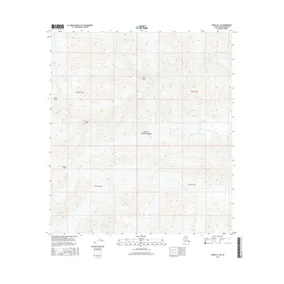
2016 Map of Denali B-1 SE
USGS Topo · Published 2016About this map
The high peaks and glacial drainage systems of the Alaska Range define this 2016 survey of the interior wilderness. Denali National Park encompasses the entire landscape, where the continental divide is marked by significant features like Anderson Pass and the towering height of Scott Peak. The terrain is characterized by a stark hydrological split: the Thorofare River flows through the northwestern portion of the quadrangle, while the W Fork Chulitna River drains the southeastern slopes. This map provides a precise view of the complex topography between Sunset Peak and the surrounding ridgelines, illustrating the natural corridors and barriers that have challenged explorers and surveyors in the Alaskan interior for over a century. The absence of human-made infrastructure emphasizes the preservation of this region as a primitive natural environment within the park boundaries.
Find a feature on this map
11 named features on this map. Tap any name to fly to it.
Don’t see what you’re looking for? This feature index may not catch every label — zoom into the map to look around manually.
Map Details
Editions of this 2016 Denali B-1 SE Map
This is the sole edition of this map. No revisions or reprints were ever made.
Other maps of this area

1949 · Healy A-6
USGS Topo · 1:63,360

1951 · Healy
USGS Topo · 1:250,000

1952 · Mount McKinley
USGS Topo · 1:250,000

1952 · Mount McKinley B-1
USGS Topo · 1:63,360

1953 · Healy A-6
USGS Topo · 1:63,360

1954 · Healy B-6
USGS Topo · 1:63,360

1954 · Mount McKinley B-1
USGS Topo · 1:63,360

1954 · Mount McKinley A-1
USGS Topo · 1:63,360

1956 · Healy
USGS Topo · 1:250,000

1958 · Mount McKinley
USGS Topo · 1:250,000