
1956 Map of Healy
USGS Topo · Published 1966About this map
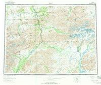
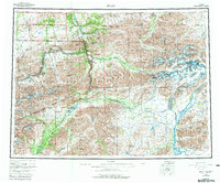
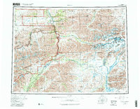
Alaska Railroad tracks serve as a primary transit corridor through this mid-century subarctic landscape, connecting a string of small settlements and industrial sites. In the north, the Usibelli Mine and Dunkle Mine anchor the regional economy near Healy (Healy Fork PO), Suntrana, and Lignite, where coal resources fueled the growth of the interior. The eastern reaches of Mount McKinley National Park dominate the central-western portion of the map, featuring the McKinley Park Headquarters and the winding Denali Highway.
Find a feature on this map
70 named features on this map. Tap any name to fly to it.
Don’t see what you’re looking for? This feature index may not catch every label — zoom into the map to look around manually.
Map Details
Editions of this 1956 Healy Map
4 editions found
Other maps of this area

1948 · Kantishna River
USGS Topo · 1:250,000

1949 · Talkeetna Mountains D-6
USGS Topo · 1:63,360

1949 · Healy B-4
USGS Topo · 1:63,360

1949 · Big Delta A-6
USGS Topo · 1:63,360

1949 · Healy C-3
USGS Topo · 1:63,360

1949 · Healy B-2
USGS Topo · 1:63,360

1949 · Fairbanks A-2
USGS Topo · 1:63,360

1949 · Fairbanks A-1
USGS Topo · 1:63,360

1949 · Healy A-1
USGS Topo · 1:63,360

1949 · Healy D-1
USGS Topo · 1:63,360