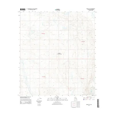
2015 Map of Denali B-3 SE
USGS Topo · Published 2015About this map
Denali National Park encompasses the majority of this Alaskan interior terrain, characterized by high-elevation glacial drainage and extreme relief. The southeastern corner of the quadrangle is defined by the terminus of Peters Glacier, which feeds the braided southern reaches of the Muddy River. A complex network of drainages including McLeod Creek, Slippery Creek, and Iron Cr dissects the landscape, providing a detailed look at the hydrology of the Alaska Range before these waters reach more populated downstream regions. This 2015 data illustrates the precise contours of the ridges and valleys between the T18S and T19S townships, serving as a modern benchmark for the region's shifting ice and water pathways.
Find a feature on this map
11 named features on this map. Tap any name to fly to it.
Don’t see what you’re looking for? This feature index may not catch every label — zoom into the map to look around manually.
Map Details
Editions of this 2015 Denali B-3 SE Map
This is the sole edition of this map. No revisions or reprints were ever made.
Other maps of this area

1952 · Mount McKinley
USGS Topo · 1:250,000

1952 · Mount McKinley B-2
USGS Topo · 1:63,360

1953 · Mount McKinley B-3
USGS Topo · 1:63,360

1954 · Mount McKinley B-3
USGS Topo · 1:63,360

1954 · Mount McKinley A-2
USGS Topo · 1:63,360

1954 · Mount McKinley A-3
USGS Topo · 1:63,360

1954 · Mount McKinley B-2
USGS Topo · 1:63,360

1958 · Mount McKinley
USGS Topo · 1:250,000

1969 · Mount McKinley
USGS Topo · 1:250,000
2015 · Denali A-3 NE
USGS Topo · 1:25,000