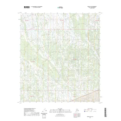
2023 Map of Denali B-4 NE
USGS Topo · Published 2023About this map
Denali National Park and the preserved Denali Wilderness dominate this interior Alaskan landscape, which remains largely untouched by modern road infrastructure. The terrain is defined by a complex network of drainage systems, most notably Birch Creek and Slippery Creek, which weave through the northern and central sections of the quadrangle. In the far south, Hauke Creek cuts through the wilderness boundary. This 2023 survey emphasizes the permanence of these protected lands, where the natural watercourses serve as the primary landmarks in a region devoid of named settlements or industrial developments. The map provides a clear look at the hydrologic patterns and topography within the federal park system during the early twenty-first century.
Find a feature on this map
12 named features on this map. Tap any name to fly to it.
Don’t see what you’re looking for? This feature index may not catch every label — zoom into the map to look around manually.
Map Details
Editions of this 2023 Denali B-4 NE Map
This is the sole edition of this map. No revisions or reprints were ever made.
Other maps of this area

1952 · Mount McKinley
USGS Topo · 1:250,000

1952 · Mount McKinley C-3
USGS Topo · 1:63,360

1953 · Mount McKinley B-4
USGS Topo · 1:63,360

1953 · Mount McKinley B-3
USGS Topo · 1:63,360

1953 · Mount McKinley C-4
USGS Topo · 1:63,360

1954 · Mount McKinley C-4
USGS Topo · 1:63,360

1954 · Mount McKinley B-3
USGS Topo · 1:63,360

1958 · Mount McKinley
USGS Topo · 1:250,000

1969 · Mount McKinley
USGS Topo · 1:250,000
2015 · Denali C-4 SE
USGS Topo · 1:25,000