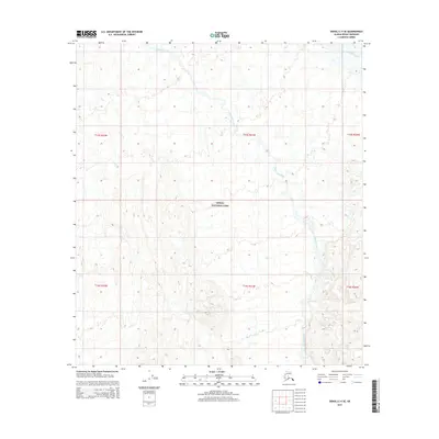
2015 Map of Denali C-4 SE
USGS Topo · Published 2015About this map
Denali National Park encompasses the majority of this interior Alaskan landscape, where the terrain is defined by the shifting braids of glacial runoff. The McKinley River cuts across the northeastern corner of the map, while Slippery Creek winds through the central and southern sections, carving paths through the high-elevation contours. This survey illustrates the intricate drainage patterns and topographical relief of the region, providing a look at a wilderness area managed for its natural state. The absence of roads or permanent structures reflects the protected and remote character of the borough, focusing instead on the hydrography and elevation data essential for navigating this part of the Alaska Range wilderness.
Find a feature on this map
9 named features on this map. Tap any name to fly to it.
Don’t see what you’re looking for? This feature index may not catch every label — zoom into the map to look around manually.
Map Details
Editions of this 2015 Denali C-4 SE Map
This is the sole edition of this map. No revisions or reprints were ever made.
Other maps of this area

1952 · Mount McKinley
USGS Topo · 1:250,000

1952 · Mount McKinley C-3
USGS Topo · 1:63,360

1953 · Mount McKinley B-4
USGS Topo · 1:63,360

1953 · Mount McKinley B-3
USGS Topo · 1:63,360

1953 · Mount McKinley C-4
USGS Topo · 1:63,360

1954 · Mount McKinley C-4
USGS Topo · 1:63,360

1954 · Mount McKinley B-3
USGS Topo · 1:63,360

1958 · Mount McKinley
USGS Topo · 1:250,000

1969 · Mount McKinley
USGS Topo · 1:250,000
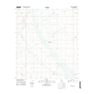
2015 · Denali C-4 NE
USGS Topo · 1:25,000