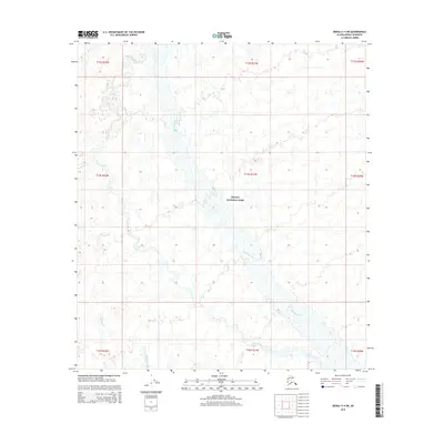
2015 Map of Denali C-4 NE
USGS Topo · Published 2015About this map
Denali National Park encompasses the majority of this interior Alaskan landscape, where the braided channels of the McKinley River course through a wide glacial valley. The topography is defined by the gradual elevation changes of the river basin, which is fed by numerous smaller tributaries including Slippery Creek and Slippery Cr. The map's detail focuses on the hydraulic patterns and the complex network of gravel bars and shifting watercourses typical of this subarctic environment. Surveyed by the U.S. Geological Survey using data from 2009 through 2015, this document preserves the precise public land survey system boundaries across multiple townships, including T13S through T15S and R20W through R22W, illustrating how federal land management divisions are overlaid upon a wild and largely roadless terrain.
Find a feature on this map
13 named features on this map. Tap any name to fly to it.
Don’t see what you’re looking for? This feature index may not catch every label — zoom into the map to look around manually.
Map Details
Editions of this 2015 Denali C-4 NE Map
This is the sole edition of this map. No revisions or reprints were ever made.
Other maps of this area

1952 · Mount McKinley
USGS Topo · 1:250,000

1952 · Mount McKinley C-3
USGS Topo · 1:63,360

1952 · Mount McKinley D-3
USGS Topo · 1:63,360

1953 · Mount McKinley C-4
USGS Topo · 1:63,360

1953 · Mount McKinley D-4
USGS Topo · 1:63,360

1954 · Mount McKinley C-4
USGS Topo · 1:63,360

1954 · Mount McKinley D-4
USGS Topo · 1:63,360

1958 · Mount McKinley
USGS Topo · 1:250,000

1969 · Mount McKinley
USGS Topo · 1:250,000
2015 · Denali C-3 NW
USGS Topo · 1:25,000