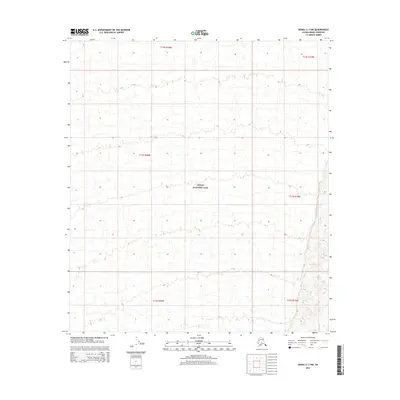
2015 Map of Denali C-3 NW
USGS Topo · Published 2015About this map
Denali National Park encompasses the entirety of this interior Alaskan landscape, which was surveyed here in the mid-2010s. The map area is defined by its topographic complexity, featuring a dense network of high-elevation contours that describe the land's drainage patterns and glacial relief. Unlike many regions where human infrastructure dominates, this sheet is characterized by the absence of named settlements, roads, or structures, emphasizing the protected status of the park and the preservation of its natural state.
Find a feature on this map
7 named features on this map. Tap any name to fly to it.
Don’t see what you’re looking for? This feature index may not catch every label — zoom into the map to look around manually.
Map Details
Editions of this 2015 Denali C-3 NW Map
This is the sole edition of this map. No revisions or reprints were ever made.
Other maps of this area

1952 · Mount McKinley
USGS Topo · 1:250,000

1952 · Mount McKinley C-3
USGS Topo · 1:63,360

1952 · Mount McKinley D-3
USGS Topo · 1:63,360

1953 · Mount McKinley C-4
USGS Topo · 1:63,360

1953 · Mount McKinley D-4
USGS Topo · 1:63,360

1954 · Mount McKinley C-4
USGS Topo · 1:63,360

1954 · Mount McKinley D-4
USGS Topo · 1:63,360

1958 · Mount McKinley
USGS Topo · 1:250,000

1969 · Mount McKinley
USGS Topo · 1:250,000
2015 · Denali C-3 SE
USGS Topo · 1:25,000