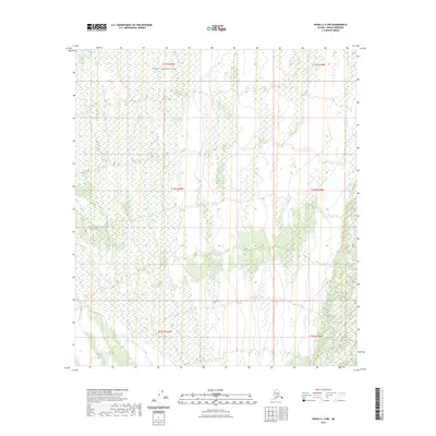
2023 Map of Denali C-3 NW
USGS Topo · Published 2023About this map
Denali National Park encompasses the northern portion of this landscape, where the vast interior of the Alaska Range transitions into complex wetlands and braided drainage systems. The map depicts a wilderness largely defined by the Public Land Survey System grid, including townships t13s r20w, t13s r19w, and t14s r20w. This 2023 survey illustrates the modern topographic character of a region without road infrastructure or named settlements, highlighting the intricate hydrography and elevation contours that define this protected territory. The presence of expansive wetland data from the 1970s and 1980s integrated with 21st-century terrain models underscores the area's role as a baseline for ecological and geodetic study in the Denali Borough.
Find a feature on this map
7 named features on this map. Tap any name to fly to it.
Don’t see what you’re looking for? This feature index may not catch every label — zoom into the map to look around manually.
Map Details
Editions of this 2023 Denali C-3 NW Map
This is the sole edition of this map. No revisions or reprints were ever made.
Other maps of this area

1952 · Mount McKinley
USGS Topo · 1:250,000

1952 · Mount McKinley C-3
USGS Topo · 1:63,360

1952 · Mount McKinley D-3
USGS Topo · 1:63,360

1953 · Mount McKinley C-4
USGS Topo · 1:63,360

1953 · Mount McKinley D-4
USGS Topo · 1:63,360

1954 · Mount McKinley C-4
USGS Topo · 1:63,360

1954 · Mount McKinley D-4
USGS Topo · 1:63,360

1958 · Mount McKinley
USGS Topo · 1:250,000

1969 · Mount McKinley
USGS Topo · 1:250,000
2015 · Denali C-3 SE
USGS Topo · 1:25,000